


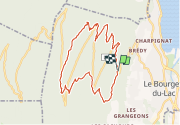

6.6 km | 13.7 km-effort

User


FREE GPS app for hiking
 SityTrail
IGN / Geographical institutes
SityTrail World
The world is yours!
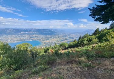
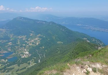
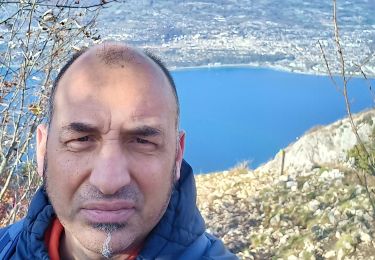
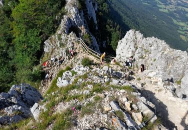
Trail Walking of 11 km to be discovered at Auvergne-Rhône-Alpes, Savoy, Le Bourget-du-Lac. This trail is proposed by Zasa .
Mixte de plusieurs parcours. En majorité dans les bois. Marche facile.


Walking
Mountain bike

Walking

Via ferrata
Walking
Walking
Walking
Walking
Walking